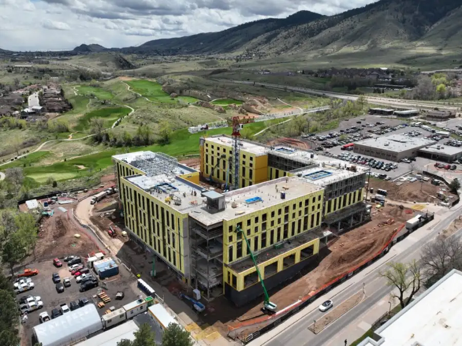
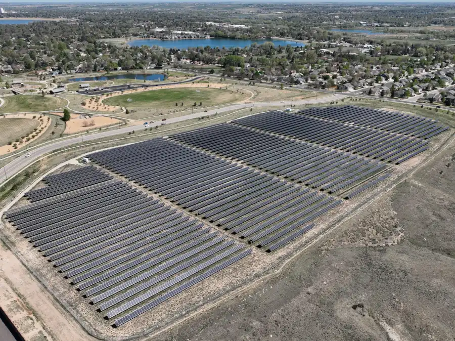
High-Fidelity 3D Reality Models for Visualization, Analysis, and Communication
3D Drone Mapping & Modeling transforms aerial imagery into accurate, measurable three-dimensional representations of real-world assets, sites, and environments. Using advanced photogrammetry workflows, 3D models capture geometry, texture, and spatial relationships that cannot be fully understood through 2D maps alone.
Skyline Drone Mapping (SDM) delivers enterprise-grade 3D models that balance visual realism with spatial accuracy. These models support visualization, planning, measurement, collaboration, and storytelling across technical and non-technical stakeholders.

| Deliverable | Output Formats | Common Uses |
|---|---|---|
| Textured 3D Mesh Models | OBJ, glTF | Visualization & presentations |
| Georeferenced 3D Models | LAS/LAZ | Analysis & integration |
| Orthographic Views | Images | Documentation |
| Measurement Tools | Embedded tools | Distance, area, volume |
| Web-Based 3D Viewer | Secure cloud link | Collaboration & sharing |

3D models provide visual and spatial representations derived from photogrammetry. Accuracy varies based on capture conditions, control, and model complexity.
3D drone models are intended for visualization, planning, measurement, and communication and do not replace stamped surveys or engineering designs unless explicitly coordinated.
3D models are typically static snapshots, while digital twins are designed to be updated over time.
Yes. Distance, area, and volume measurements can be extracted depending on model accuracy.
Yes. Models can be delivered with spatial reference for GIS and CAD integration.
Yes. Web-based viewers make models accessible without specialized software.