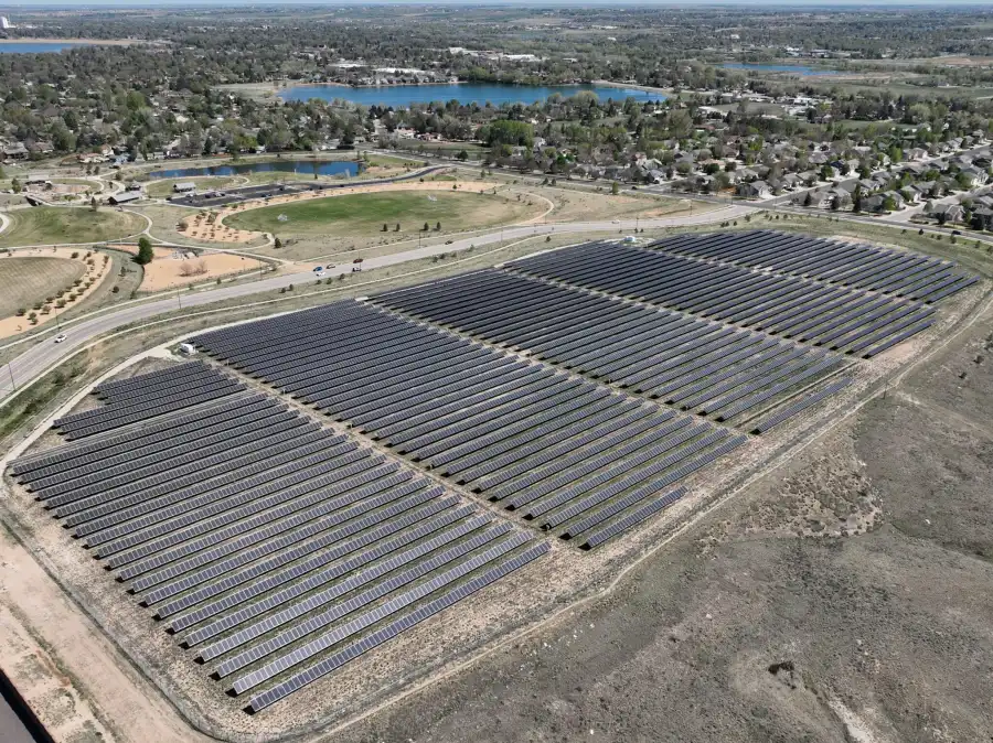
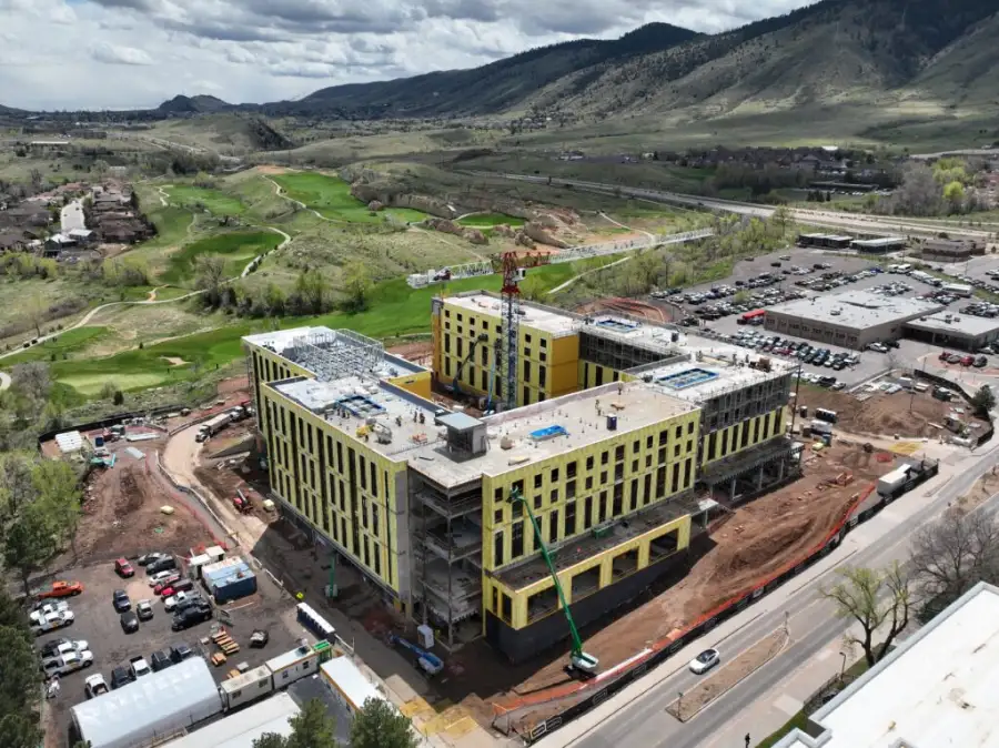
Skyline Drone Mapping (SDM) delivers enterprise-grade LiDAR mapping using advanced airborne LiDAR sensors, RTK/PPK positioning, and rigorous quality control workflows. LiDAR (Light Detection and Ranging) mapping uses laser pulses to generate high-density 3D point clouds that accurately represent terrain, structures, and features, even in areas with heavy vegetation or complex surfaces.
Unlike photogrammetry alone, LiDAR can penetrate foliage and capture ground elevations with exceptional reliability. Our LiDAR datasets support engineering analysis, infrastructure planning, environmental assessment, and high-accuracy modeling across large or challenging sites. Contact us today to learn more.

| Deliverable | Output Formats | Common Uses |
|---|---|---|
| LiDAR Point Cloud | LAS/LAZ | Engineering & analysis |
| Digital Terrain Model (DTM) | GeoTIFF | Bare-earth elevation |
| Digital Surface Model (DSM) | GeoTIFF | Surface modeling |
| Classified Point Data | LAS/LAZ classes | Feature extraction |
| Contours & Profiles | DXF, SHP | Design & planning |
| Web-Based Viewer | Secure cloud link | Stakeholder review |