Construction runs on plans, but the site doesn’t always agree with them. Grade shifts, material stockpiles in the wrong place, coordination gaps between trades, most of these problems get discovered on the ground, after something has already gone wrong.
A 3D drone map closes the gap between what the plan says and what the site actually looks like, fast enough to catch deviations before they turn into change orders. Here’s how construction teams are using 3D drone maps in practice, and why the ones who use them regularly spend less time correcting work and more time building.
From Flat Plans to a Full Picture of the Site
A 2D orthomosaic shows you the site from above with accurate scale and positioning, but the vertical dimension is missing entirely. A 3D drone map adds that layer, capturing the actual geometry of the terrain, structures, and materials on site in three-dimensional space.
The model is built from hundreds of overlapping drone images processed through photogrammetry software, and each point in the model carries real-world coordinates. That means you can take measurements directly from the model: distances, elevations, volumes, and surface areas without sending a field crew back out.
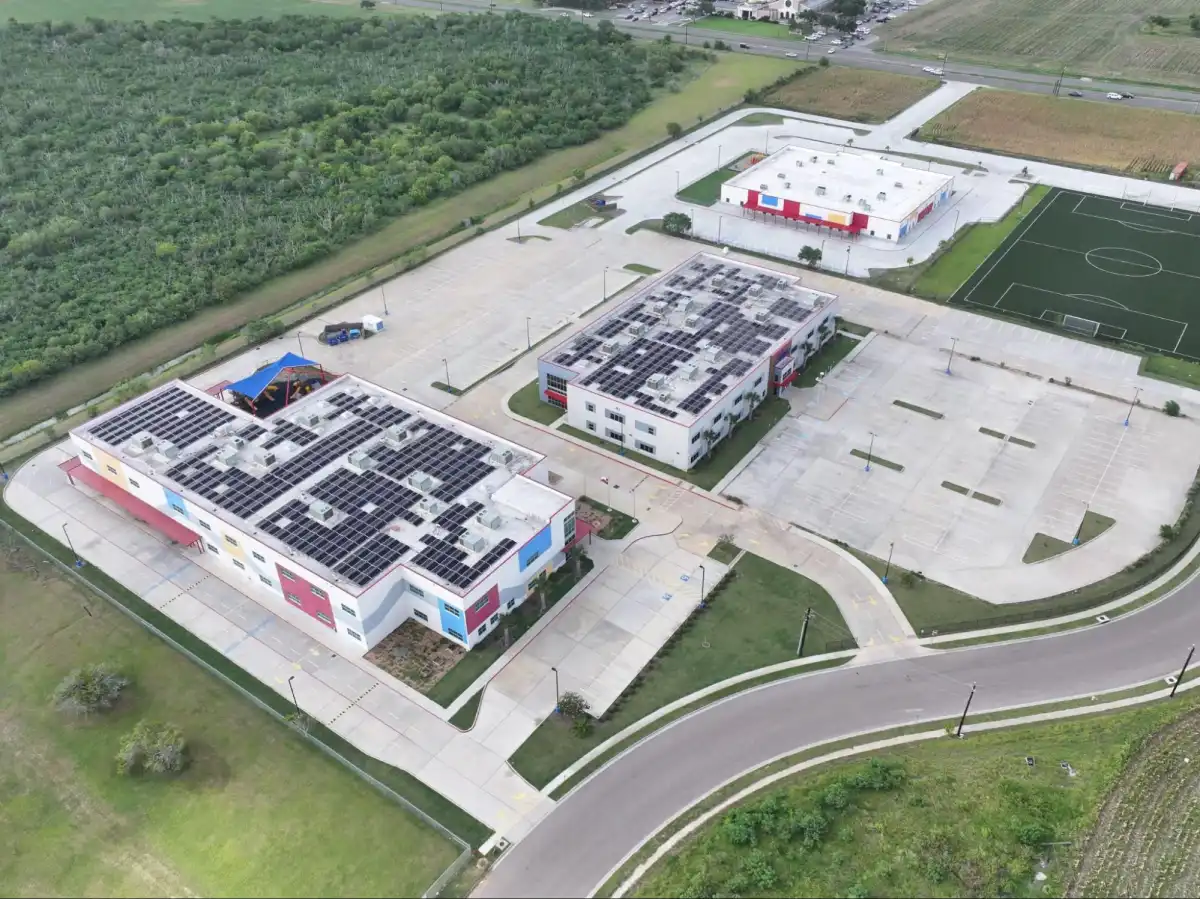
For construction teams managing complex sites with multiple elevations, staged earthwork, or ongoing structural framing, that spatial accuracy changes how decisions get made. You’re looking at the ground instead of trying to interpret how a flat plan applies to it.
How 3D Drone Maps Catch Problems Before They Cost You
Rework is where construction projects lose the most money, and the pain is almost always the same story. A grade that’s off by a foot doesn’t appear in a 2D progress photo. A stockpile in the wrong position isn’t discovered until a delivery truck can’t get through. Structural framing that has drifted from design coordinates goes undetected until the next trade shows up and can’t connect.
3D drone maps surface these problems because you can overlay the model directly against the original design and see exactly where the site diverges from the plan. Contractors who build drone mapping into their QA/QC process report up to 30% fewer change orders, largely because they can confirm as-built conditions before moving to the next phase.
On a fast-moving job in South Texas, where crews are pushing through summer heat and compressed schedules, a week-long gap between a grading error and its discovery can set a project back significantly. A weekly drone flight closes that gap to days.
Sharing the Site With Everyone Who Needs to See It
One of the most underused advantages of a 3D drone map is how far it travels without losing clarity. The model lives in a cloud-based viewer, and sharing it is as simple as sending a link to whoever needs to see it, the owner, the engineer, the architect, the subcontractors.
That changes the dynamic of owner meetings in a meaningful way. Instead of walking someone through a set of drawings and hoping they follow along, you’re showing them the site as it actually looks today. You can rotate the model, measure a span, zoom into a structural connection, and annotate a problem area directly in the viewer.
For developers managing projects remotely, or owners who want to stay informed without being on-site daily, a shared 3D model is the clearest status update they can get, and it’s harder to dispute than a verbal report.
A Running Record From Groundbreak to Closeout
3D dronemaps don’t just show what the site looks like today. Flown at regular intervals, they build a documented timeline of the project from the first day of grading to the final walkthrough.
That record has practical value at every stage. Pre-construction, it captures existing conditions before a shovel touches the ground, which protects you if a dispute comes up later about what was there before work began. During construction, it tracks earthwork volumes, confirms grading progress, and documents site conditions before each new phase starts. At closeout, it gives stakeholders an as-built visual record they can reference long after the project wraps.
For infrastructure work where public agencies and utility companies need documentation for compliance and reporting, that timeline becomes part of the permanent project file.
Where 3D Drone Mapping Fits Into a Construction Workflow
3D mapping works best when it’s planned into the project from the start rather than added after something goes wrong. A common approach is to fly before grading begins to establish baseline topography, then again at key milestones: after rough grading, after underground utilities, and after structural framing. Each flight takes a fraction of a day, and deliverables typically come back within five to seven business days.
The outputs, textured 3D mesh models, georeferenced point clouds, and orthographic views, export in formats that plug directly into AutoCAD, Civil 3D, and GIS platforms. For projects where change order risk is high, phasing is complex, or owner communication is a recurring challenge, building 3D drone mapping into the project budget from day one is worth the investment.
Get a Drone 3D Map on Your Next Project
Skyline Drone Mapping serves construction teams across South Texas and the Gulf Coast, from Corpus Christi to Houston and beyond. Our Pix4D-certified team delivers 3D drone maps with RTK/PPK accuracy, GIS and CAD-ready exports, and cloud-based sharing included. Call 361-813-9001 or schedule a consultation to discuss your project and request a demo.