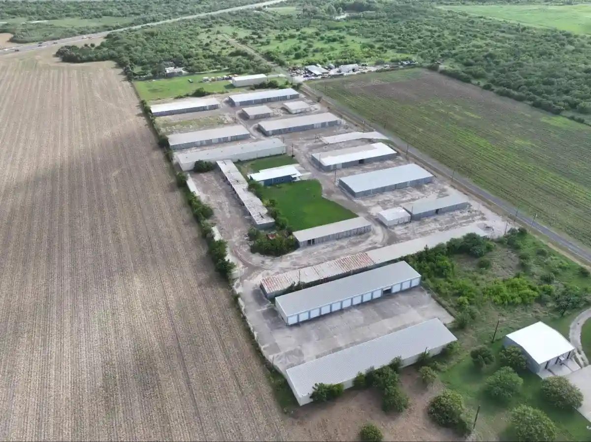
A traditional topographic survey on a 50-acre construction site can take a crew of three people two to three days. A drone survey covers the same ground in under two hours and delivers data accurate to within a few centimeters. That’s not an exaggeration. It’s physics and math working at scale.
But knowing the result is impressive and knowing why it works are two different things. Here’s a plain-language breakdown of what happens from the moment a drone lifts off to the moment your engineering team has a GIS-ready deliverable on their screen.
What a Drone Survey Is (And What It Isn’t)
A drone survey is the process of using an unmanned aerial vehicle to capture georeferenced aerial imagery and sensor data, which is then processed into measurable maps, 3D models, and elevation datasets. It’s not aerial photography with a GPS stamp. The data is spatially accurate, meaning every pixel in an orthomosaic map has a real-world coordinate attached to it.
The technology driving this accuracy is called photogrammetry, the science of extracting measurements and geometry from overlapping photographs. When a drone captures hundreds of images with known GPS positions, specialized software reconstructs the terrain in three dimensions with centimeter-level precision.
LiDAR-equipped drones take a different approach, firing millions of laser pulses at the ground and measuring return time to build dense point clouds. LiDAR cuts through vegetation that photogrammetry can’t see through, making it the right tool for wooded corridors, floodplain analysis, and sites with heavy brush cover.
How the Drone Captures Site Data
A drone survey starts before the drone leaves the ground. The pilot plans an autonomous flight path, setting the altitude, image overlap, and ground sampling distance (GSD) based on the project’s accuracy requirements. Higher overlap and lower altitude mean more data points and tighter accuracy. It also means more flight time and more processing.
During the flight, the drone captures images at set intervals, typically with 75 to 85 percent front overlap and 60 to 75 percent side overlap. Each image is tagged with GPS coordinates from the drone’s onboard receiver. When the flight wraps, those hundreds of images go into photogrammetry software, where the platform identifies matching features across overlapping photos and reconstructs the terrain geometry.
The output isn’t a pretty picture. It’s a georeferenced orthomosaic with accurate scale, a digital surface model showing elevation across the site, and a dense point cloud that engineers and GIS teams can measure, analyze, and import directly into AutoCAD Civil 3D, ArcGIS, or whatever platform they’re already using.
RTK, PPK, and Ground Control Points: Where Accuracy Actually Comes From
The drone’s built-in GPS alone isn’t good enough for survey-grade work. Standard GPS drifts by meters, not centimeters. That’s where RTK and PPK positioning come in.
RTK (Real-Time Kinematic) connects the drone to a fixed base station or CORS network during the flight. The base station continuously corrects the drone’s GPS signal in real time, pushing accuracy down to 1 to 2 centimeters horizontally. Corrections happen while the drone is flying, which makes RTK fast and practical for most projects.
PPK (Post-Processing Kinematic) takes a different approach. Instead of correcting the signal live, it logs raw GPS data during the flight and applies corrections afterward using recorded base station data. PPK works better in remote areas where a live correction signal isn’t reliable.
Ground control points (GCPs) add another layer on top of both. These are physical targets placed across the site and surveyed with high-precision GNSS equipment before the flight. When photogrammetry software processes the imagery, it ties the model to those known coordinates, catching any remaining positional drift and locking the dataset to real-world accuracy. Five GCPs distributed across the site’s corners and center is the practical minimum. Larger or more complex sites need more.
For most engineering and construction applications, RTK positioning combined with GCPs delivers horizontal accuracy within 1 to 3 centimeters and vertical accuracy within 2 to 5 centimeters. That’s tight enough to support grading plans, earthwork calculations, and cut-and-fill analysis without additional field verification.
What You Receive at the End of a Drone Survey
Deliverables depend on the project type, but a standard drone survey produces several outputs.
Orthomosaic map (GeoTIFF)
A georeferenced aerial image with consistent scale and accurate positioning. This is your 2D basemap for site coordination, stakeholder communication, and GIS integration.
Digital Surface Model (DSM) or Digital Terrain Model (DTM)
Elevation data across the entire site. DSMs capture everything on the surface, including structures and vegetation. DTMs filter down to bare earth, which engineers need for drainage design and grading analysis.
Contour data (DXF or SHP)
Generated from the elevation model at whatever interval your design workflow requires.
Dense point cloud (LAS)
Millions of georeferenced elevation points that feed directly into Civil 3D and similar platforms for 3D design coordination.
Processing timelines vary. A single-site survey with standard deliverables typically turns around in five to seven business days from the flight date. Larger projects, LiDAR work, or multi-deliverable packages run closer to two weeks.
Which Projects Get the Most From a Drone Survey
Construction and development teams use drone surveys to establish site baselines before breaking ground, track earthwork progress, and catch grading errors before they become costly change orders. A survey at the start of a project and again at key milestones gives project managers a documented record that’s hard to dispute.
Engineers depend on the elevation data. A drone-generated DTM with 2-centimeter vertical accuracy gives a civil engineer what they need for drainage design, utility routing, and volume calculations without sending a field crew out for days.
Government agencies and infrastructure teams use drone surveys for road and bridge corridor mapping, drainage basin analysis, and floodplain studies where LiDAR’s ability to penetrate vegetation is critical.
Energy and utility companies map pipeline corridors, substation footprints, and solar farm layouts faster and with fewer people in the field.
Getting a Drone Survey Started in South Texas
If you need accurate aerial data for a construction site, land development project, or infrastructure corridor across South Texas and the Gulf Coast, Skyline Drone Mapping handles the full workflow from flight planning to final deliverable. Every project runs RTK/PPK positioning workflows, and all deliverables are GIS- and CAD-ready from day one.
Call 361-813-9001 or schedule an appointment to get a quote for your next project.