Repeatable Visual Documentation and Measurable Progress Intelligence for Active Job Sites
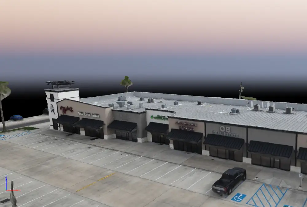
Construction progress mapping combines repeatable aerial mapping, measurement, and visual documentation to track how a job site evolves over time. By capturing sites on a consistent schedule and comparing datasets across milestones, project teams gain clear visibility into progress, quantities, site conditions, and potential issues—without disrupting operations.
Skyline Drone Mapping (SDM) delivers enterprise-grade construction progress reporting using RTK/PPK positioning, standardized flight parameters, and rigorous QA/QC. Our workflows produce defensible records that support coordination, reporting, dispute resolution, and stakeholder communication throughout the project lifecycle.


Construction progress mapping is best suited for teams that need objective, time-stamped documentation of site conditions and measurable progress.
Best fit for: General contractors and civil contractors | Developers and owner’s representatives | Project managers and superintendents | Engineers and construction consultants | Public agencies overseeing capital projects

| Deliverable | Output Formats | Common Uses |
|---|---|---|
| Time-Series Orthomosaics | GeoTIFF, KMZ | Progress tracking & documentation |
| Progress Reports | PDF, CSV | Stakeholder updates & records |
| Volumetric Change Analysis | Tables & charts | Earthwork and material tracking |
| Site Condition Imagery | Annotated photos | Issue identification |
| Web-Based Viewer | Secure cloud link | Remote review & collaboration |


Deliverables are produced using RTK/PPK workflows and standardized capture parameters. Accuracy varies based on site conditions, control placement, and project scope.
Construction progress products are intended for planning, documentation, coordination, and reporting unless otherwise specified. They do not replace contractual schedules, certified pay applications, or stamped surveys unless explicitly scoped.
Weekly or biweekly flights are common, but frequency depends on project pace and reporting needs.
Yes. Time-stamped, consistent datasets provide objective documentation of site conditions and progress.
No. Flights are typically conducted without interrupting active work.
Yes. Earthwork and material quantities can be tracked over time as part of progress reporting.