Living 3D Asset Models for Visualization, Planning, and Long-Term Intelligence
Digital twins are high-fidelity, interactive 3D representations of real-world assets or environments that combine visual context, spatial accuracy, and time-based data into a single reference model. Unlike static maps or one-time models, digital twins are designed to be updated over time, creating a living record of how an asset, site, or facility evolves.
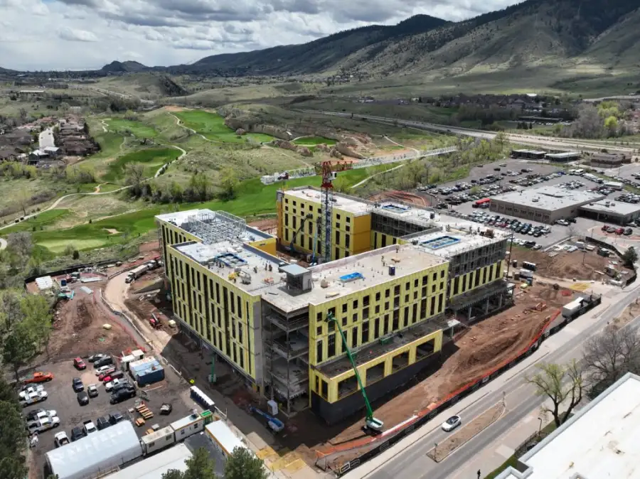
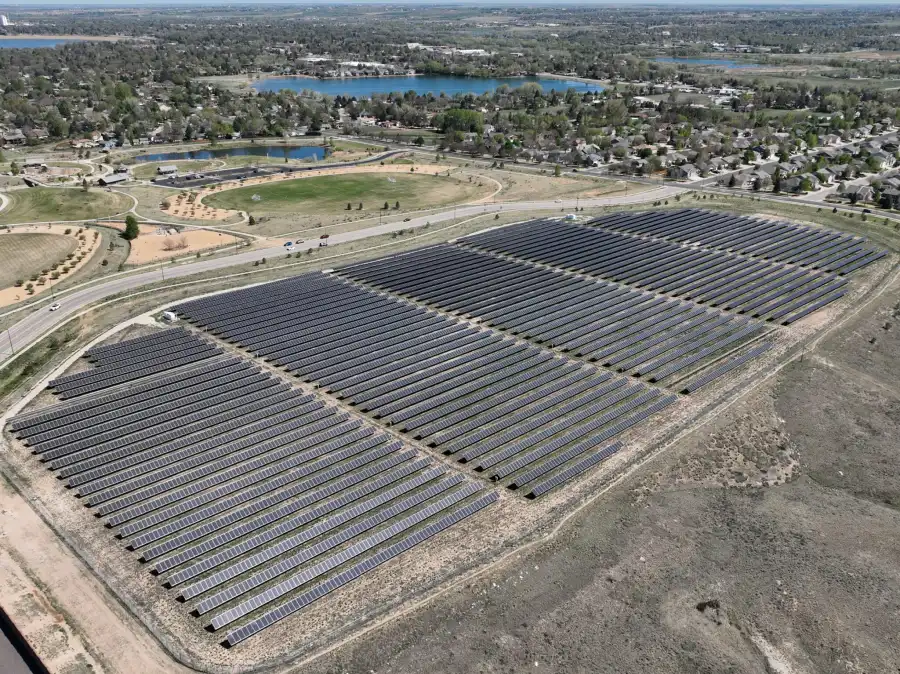
Skyline Drone Mapping (SDM) delivers enterprise-grade digital twins built from drone mapping, photogrammetry, inspections, and supporting datasets. Our digital twins provide stakeholders with a centralized, visual source of truth that supports planning, operations, communication, and long-term asset management.

| Deliverable | Output Formats | Common Uses |
|---|---|---|
| Interactive 3D Digital Twin | Web-based viewer, glTF | Visualization & navigation |
| Georeferenced 3D Models | OBJ, LAS/LAZ | Planning & analysis |
| Annotation & Markup Layers | Embedded tools | Asset documentation |
| Time-Series Model Updates | Versioned datasets | Change tracking |
| Secure Sharing Access | Cloud links | Collaboration |

SDM digital twin workflows are designed for accuracy, usability, and scalability:
Digital twins provide visual and spatial representations of assets and environments. Accuracy varies based on capture methods, control, and update frequency.
Digital twins are intended for visualization, planning, communication, and asset intelligence and do not replace stamped surveys, engineering designs, or as-built certifications unless explicitly coordinated.
A digital twin is designed to be updated and used over time, while a 3D model is typically a static snapshot.
Yes. Digital twins are often refreshed on a scheduled basis or at key milestones.
Yes. Visual, thermal, and inspection datasets can be layered or linked within the twin.
Owners, operators, planners, and stakeholders who need a shared visual reference.