Mapping & Surveying Services in Corpus Christi, TX

Accurate, Survey-Grade Aerial Data for Planning, Design, and Decision-Making to Clients Throughout Texas

Turn Your Site Into Accurate, Actionable Data

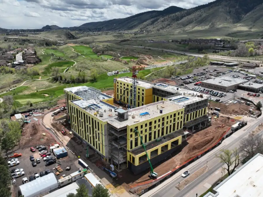
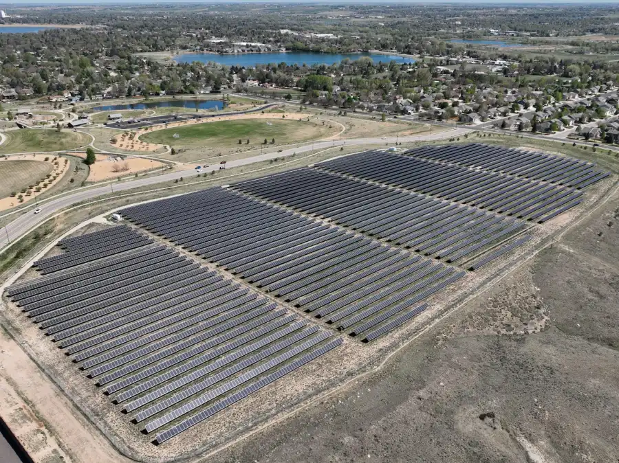
Skyline Drone Mapping (SDM) provides a suite of mapping and surveying services in Corpus Christi and all of Texas. Our mapping workflows support engineering, construction, government, utilities, land management, and development teams with GIS- and CAD-ready deliverables that integrate seamlessly into existing workflows.

Whether you need georeferenced orthomosaics for site coordination, elevation models for grading and drainage analysis, or LiDAR point clouds for corridor mapping and vegetation penetration, SDM’s mapping services provide the spatial foundation your project depends on.

Drone Mapping & Surveying Service Categories

The services below represent SDM’s full Mapping & Surveying capability stack. Each service can be delivered as a standalone engagement or combined into a comprehensive data program.

Orthomosaic Mapping (2D)

SDM’s orthomosaic maps combine hundreds of individual drone images into a single, seamless visual layer with consistent scale and accurate spatial positioning. These maps serve as the foundation for site analysis, progress tracking, stakeholder communication, existing conditions documentation, and GIS integration.
Common uses: Existing conditions documentation | Planning and site coordination | GIS basemaps and overlays

Drone Surveying & Survey-Grade Mapping

High-accuracy aerial data collection designed to support professional surveying and engineering workflows. When required, SDM works in coordination with licensed surveyors to support stamped deliverables.
Common uses: Existing conditions surveys | Engineering basemaps | Development and infrastructure projects

Topographic Mapping (DSM / DTM & Contours)

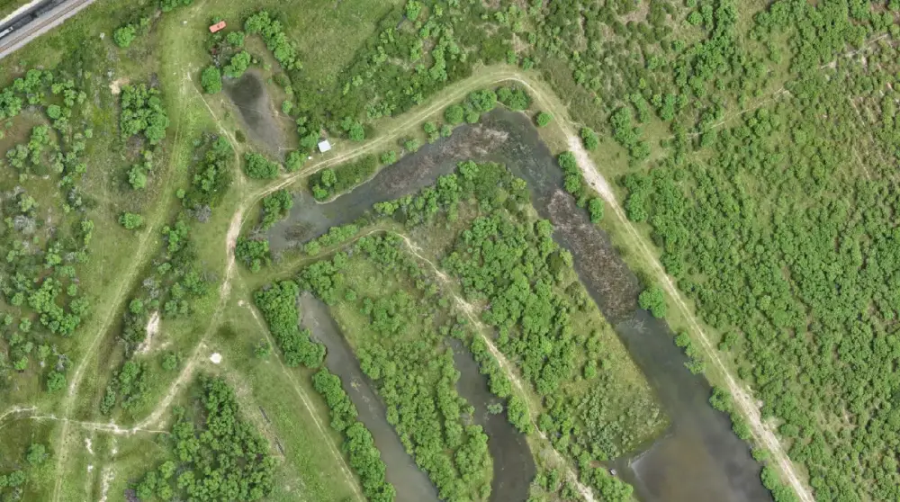
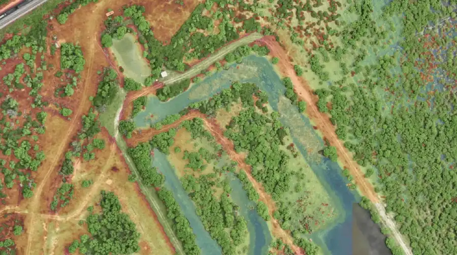
SDM delivers Digital Surface Models (DSM), Digital Terrain Models (DTM), and contour datasets that provide the elevation intelligence engineers and designers need for grading plans, cut-and-fill analysis, and drainage design.
Common uses: Site design and grading | Drainage and earthwork planning | Engineering analysis

LiDAR Mapping

SDM’s LiDAR services deliver millions of precisely positioned elevation points that reveal true ground surfaces beneath tree canopy, vegetation, and other obstructions. Ideal for corridor mapping, floodplain analysis, and large-area terrain modeling, LiDAR provides the data density and ground classification accuracy that photogrammetry alone can’t achieve.
Common uses: Corridor mapping and infrastructure | Floodplain and environmental analysis | Large-area terrain modeling

How These Services Work Together

SDM’s mapping services are designed to function as a layered data ecosystem:
Together, these services create a single source of spatial truth that supports confident decision-making.

Accuracy & Professional Standards

All SDM mapping services are delivered using:
For projects requiring sealed or stamped survey deliverables, SDM collaborates with licensed Professional Land Surveyors (PLS) to ensure regulatory compliance.

Who Uses SDM Mapping & Surveying Services

SDM’s mapping and surveying services support professionals who need reliable spatial data to plan, design, build, and manage projects with confidence. From civil engineers establishing site baselines to utilities managing infrastructure corridors, our clients depend on accurate aerial intelligence to reduce uncertainty, streamline coordination, and make informed decisions. Our services are used by: 

Frequently Asked Questions

Orthomosaic mapping creates a high-resolution 2D aerial image with accurate positioning, ideal for visual documentation and site coordination. Topographic mapping adds elevation data through Digital Surface Models (DSM), Digital Terrain Models (DTM), and contours, which engineers use for grading, drainage design, and earthwork calculations. Many projects use both. Orthomosaics for visual context and topographic data for elevation analysis.
Drone mapping with RTK/PPK positioning and ground control can achieve accuracies within 1-3 cm horizontally and 3-5 cm vertically, which meets or exceeds requirements for many engineering and construction applications. For projects requiring stamped survey deliverables or higher precision, SDM collaborates with licensed Professional Land Surveyors to ensure compliance.
LiDAR is ideal for sites with heavy vegetation, wooded areas, utility corridors, or complex terrain where you need to see the true ground surface beneath tree canopy and brush. Photogrammetry works well for open sites with good visibility. LiDAR also provides higher point density and better ground classification for large-area terrain modeling and floodplain analysis.
Standard deliverables include orthomosaics as GeoTIFF files, elevation models as DEM/DSM rasters, contours in DXF or SHP format, and point clouds in LAS format. All files are georeferenced and ready to import into CAD, GIS, and engineering software like AutoCAD Civil 3D, ArcGIS, and similar platforms.
Timeline depends on site size and deliverable complexity. A typical single-site orthomosaic or topographic map can be completed within 5-7 business days from flight to delivery. Larger sites, LiDAR projects, or multi-deliverable engagements may take 10-14 days. We’ll provide a specific timeline during project planning.
Not always. For many projects, RTK/PPK positioning provides sufficient accuracy without ground control. For survey-grade work or projects requiring stamped deliverables, ground control points may be necessary. SDM can coordinate ground control establishment with licensed surveyors if required, or work with control you’ve already established on-site.
Drone mapping complements traditional surveying and can replace certain workflows, particularly for large-area topographic surveys, site documentation, and preliminary design work. However, for boundary surveys, legal descriptions, or projects requiring a Professional Land Surveyor’s seal, traditional methods or a combination approach is necessary. SDM works with licensed surveyors when stamped deliverables are required.

Start Your Drone Mapping Project

Need accurate, professional-grade aerial data for your project? Explore SDM’s mapping and surveying services or contact us to determine the right solution for your site. Reach out now to learn more.