High-Resolution Aerial Imagery for Marketing, Documentation, and Decision-Making
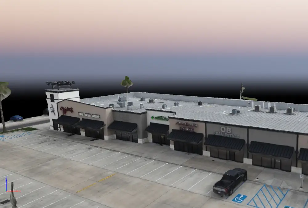
Aerial photography captures high-resolution, professionally composed images from elevated perspectives that are impossible to achieve from the ground. These images provide clear visual context, scale, and detail—making them valuable for marketing, documentation, inspections, and stakeholder communication.
Skyline Drone Mapping (SDM) delivers enterprise-grade aerial photography using advanced drone platforms, professional camera systems, and controlled capture workflows. Our imagery is designed to be both visually compelling and operationally useful, supporting a wide range of industries and use cases.


Aerial photography is ideal for organizations that need clear, accurate, and visually engaging imagery to communicate site conditions, assets, or environments.
Best fit for: Real estate and property management teams | Construction and development firms | Government and public agencies | Energy, utilities, and infrastructure operators | Tourism and hospitality brands | Marketing and communications teams
| Deliverable | Output Formats | Common Uses |
|---|---|---|
| High-Resolution Aerial Images | JPG, TIFF | Marketing & documentation |
| Annotated Imagery | JPG, PDF | Site context & reporting |
| Multi-Angle Asset Views | Image sets | Asset visibility |
| Optimized Web Imagery | JPG | Websites & listings |
| Secure Delivery Gallery | Cloud link | Sharing & collaboration |


Aerial photography deliverables prioritize visual clarity and composition. While imagery may be geotagged, it is not intended for precise measurement unless paired with mapping services.
Aerial photography is intended for marketing, visualization, documentation, and communication and does not replace survey-grade mapping or inspections unless explicitly coordinated.
Aerial photography focuses on visual storytelling and composition, while mapping prioritizes measurement and accuracy.
Yes. Images can be optimized for websites, social media, print, and presentations.
No. Flights are typically completed without interrupting normal activities.
Yes. Many clients schedule recurring shoots to keep visuals current.