Drone Surveying

Faster Surveys. Clearer Results.

Skyline Drone Mapping gives you accurate surveying data without long field hours or costly delays. You get sharp images, clean maps, and reliable measurements that keep your project moving. No guesswork and no slowdowns. You get the information you need to plan with confidence.
DJI Matrice 4 multi-sensor drone.

The Power of Modern Drone Surveying

Skyline gives you fast and accurate drone surveying that replaces slow ground methods. You see your entire site from above with strong detail and clean results. Our process saves time and gives you true insight into your project. You get smart data that supports every decision.

Accuracy That Matters

We deliver precise survey grade data you can trust for planning. This helps stop rework and costly mistakes.

Fast Results

We collect and process surveying data fast so you do not wait on long field visits. You can act on your results right away.

Real Savings

Drone surveying cuts labor and reduces time in the field. This gives you strong savings and cleaner workflows.

Safer Jobs

Your crew stays safe while our drones handle the difficult areas. You avoid sending workers into risky or uneven terrain.

Easy to Use

Your deliverables work with GIS, CAD, and project software. You can start planning as soon as the files arrive.

Why Drone Surveying Works

Drone surveying gives you more detail and more confidence than many ground based methods. You get a full view of the land with clean measurements and strong accuracy. This helps you plan better and move faster. You stay ahead of hidden issues and delays.

Drone Surveying / Photogrammetry Services

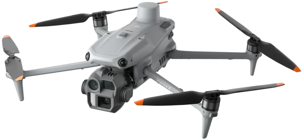
Skyline provides full drone surveying solutions that deliver accurate and clear data. Each service helps you see more, plan smarter, and stay in control of your project.

Photogrammetry Mapping

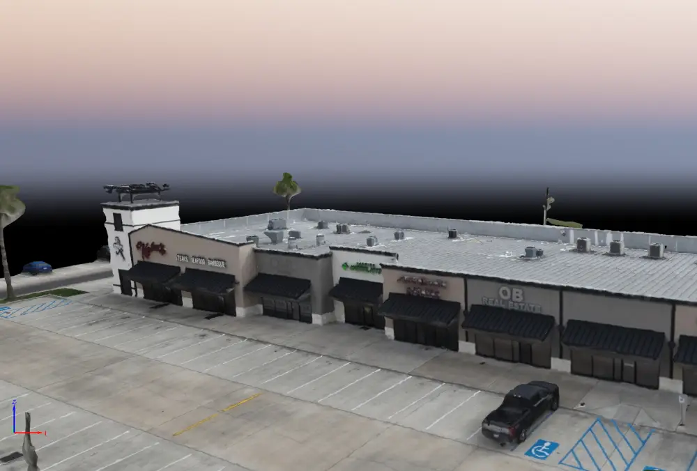
You get detailed 2D and 3D maps built from high resolution aerial photos. This gives you a full view of your site.

Orthomosaic Surveys

We create georeferenced maps that show true color and real position. You can measure, plan, and study every detail.

DSM and DTM Elevation Models

You get surface and bare earth models for planning and engineering. These models help you understand slopes, grading, and terrain changes.

Contour Mapping

We generate smooth contour lines for design, planning, and site layout. These lines help you see how the land truly moves.

Site Documentation

You get clear images and maps that track progress and changes. This helps you stay organized and informed.

Industries We Serve

Skyline supports industries that rely on accurate surveying and mapping in Corpus Christi. Each group uses our drone surveying to plan better, avoid mistakes, and keep projects on track.

Our Process

Our drone surveying process is simple and built for fast turnaround. We handle every step from planning to final delivery.

Talk With Us

You tell us about your project and goals. This helps us understand what matters most.

We Fly Your Site

We capture accurate data while you stay focused on your job. You get full coverage without extra labor.

Quick File Delivery

We process your results and send clean maps and models. You get files that are ready to use right away.

Make Strong Decisions

Use your new data to plan, design, and manage your project. You stay ahead of delays and surprises.

Why Choose Skyline Drone Mapping

Skyline stands out because we deliver results that matter. You get clean data, fast results, and a smooth process from start to finish.

Service Areas

We are based out of Corpus Christi but we also serve the surrounding areas. Our team responds quickly and provides clean mapping data for planning and site work. No matter the site size, we capture the data you need. We help you stay informed and move forward with confidence.

Testimonials

What Clients Say

People trust Skyline because we deliver strong results on every project. You get accuracy, speed, and service you can count on.

Frequently Asked Questions

Drone surveying provides accurate mapping and measurement, but it is not a legal boundary survey. You must hire a licensed surveyor for property lines or legal documents.
We provide centimeter level accuracy depending on project needs. You get strong results that support planning and design.
Most drone surveys are delivered very fast with quick processing. Timeline depends on site size and weather conditions.
We provide files that work with GIS, CAD, and design software. You can use your files right away without extra steps.
Yes, drones work well in difficult or uneven areas. Sensors capture the true terrain from above with strong clarity.
Light wind and clouds are usually fine. Strong wind or rain may delay flights, and we reschedule quickly.
No, flights are quiet and out of the way. Your team can keep working while we gather data.
Cost depends on site size, terrain, and the type of data needed. Many teams save money because drone surveying replaces slow ground work.
No, most clients do not need to be present. We can handle everything as long as the site is accessible and safe.

Get Started Right Now

Skyline Drone Mapping is ready to deliver accurate drone surveying and photogrammetry data for your project. If you want clean results fast, now is the time to reach out.