Drone Topographic Mapping

Faster Elevation Data. Smarter Planning.

Skyline Drone Mapping gives you clear elevation data that helps you plan with confidence. You get clean contours, sharp DSM and DTM files, and accurate terrain details. No delays and no stress. You get the information you need to keep your project moving.
DJI Matrice 4 multi-sensor drone.

The Power of Better Elevation Data

Skyline gives you fast, clear, and accurate topographic mapping that cuts out slow steps in the field. You see the land in full detail and can make smart choices without guessing.

Accuracy That Matters

We capture precise elevation data that helps stop rework and grading mistakes. You get results you can trust on every project.

Fast Results

We deliver DSM, DTM, and contour files fast so you can act right away. You never wait on slow field crews to move forward.

Real Savings

Drone mapping cuts survey labor and reduces delays. You save money while keeping your schedule on track.

Safer Jobs

Your crew stays safe while our drones map slopes, pits, and rough terrain. You avoid sending workers into risky areas.

Easy to Use

Your files drop right into your GIS, CAD, and design tools. You can start planning the moment the data arrives.

Why Drone Topographic Mapping Works

Drone topographic mapping gives you fast and accurate elevation insight that old methods cannot match. You get full terrain detail that helps you plan grading, drainage, cuts, fills, and earthwork with confidence.

Topographic Mapping Services

Skyline provides complete terrain mapping designed for planning and development. Each service helps you see the land clearly and make stronger decisions.

DSM Mapping

You get surface models that show buildings, trees, slopes, and visible features. This helps you understand how the land truly looks.

DTM Mapping

We remove surface objects to reveal the true ground shape. This gives you accurate bare earth data for planning.

Contour Mapping

We create smooth and accurate contour lines for grading and drainage. These lines help you plan earthwork with confidence.

Elevation Analysis

You can study slopes, cuts, fills, and volume changes with clear visuals. This helps you see what needs to be done before work begins.

Terrain Models for Planning

Our models support engineers, survey teams, and developers. You get the ground truth needed for smart planning.

Industries We Serve

Skyline supports the industries that rely on elevation data around Corpus Christi. Each group uses our terrain models to plan better and avoid errors before they cost time or money.

Our Process

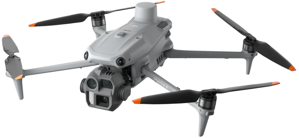
Our workflow is simple and built for fast turnarounds. We handle everything from flights to final data delivery.

Talk With Us

Tell us your goals so we understand your needs. This helps us plan the right approach.

We Fly Your Site

We capture DSM, DTM, and contour data while you stay focused on your work. You keep moving without delays.

Quick File Delivery

We process your data and send clean elevation maps and models. You get files ready for planning right away.

Make Strong Decisions

Use your new insights to plan grading and design with confidence. You stay ahead of problems before they cost time or money.

Why Choose Skyline Drone Mapping

Our team focuses on results that help you win. We deliver clean topographic data that keeps your work moving without roadblocks.

Service Areas

We are based out of Corpus Christi but we also serve the surrounding areas. Our team responds fast and provides accurate topographic mapping for construction, engineering, and planning needs.

Testimonials

What Clients Say

People trust Skyline because we keep our word and deliver strong results.

Frequently Asked Questions

Drone topographic mapping gives you clear and accurate elevation data, but it is not a legal boundary survey. You must hire a licensed surveyor for property lines or legal decisions.

We deliver true centimeter level results that help prevent grading errors. You get clean DSM, DTM, and contour files that support better planning.

Most topographic projects are delivered very fast with quick processing times. Timing depends on site size, terrain, and weather.
We provide files that work with GIS, CAD, engineering, and design tools. You can load them into your system right away.
Yes, drones work well in tough areas like slopes, brush, hills, and uneven ground. Our sensors capture the true shape of the surface from above.
Light wind and clouds are fine for flights. Heavy rain or strong wind may cause delays, but we reschedule fast.
No, drone flights are quiet and out of the way. Your team can keep working while we collect data.
Cost depends on site size, terrain, and the data needed. Many clients save money because drone mapping reduces field hours and manual survey work.
No, most clients do not need to be present. We can handle everything as long as the site is accessible and airspace is safe.

Get Started Right Now

Skyline Drone Mapping is ready to deliver accurate elevation data that helps you plan smarter. If you want clean DSM, DTM, and contour files fast, now is the time to reach out.