Safe, Efficient Visual Inspections for Assets, Infrastructure, and Facilities
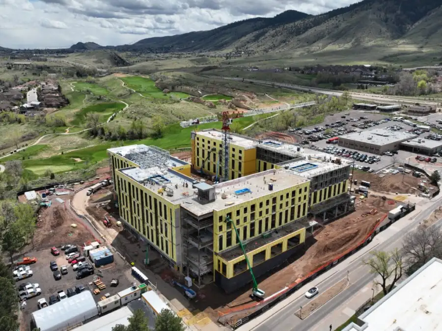
Aerial inspections use drones to capture high-resolution visual data of assets and infrastructure that are difficult, dangerous, or time-consuming to inspect from the ground. By accessing rooftops, façades, structures, equipment, and remote areas from the air, organizations gain fast visibility into asset conditions without disrupting operations or exposing personnel to unnecessary risk.
Skyline Drone Mapping (SDM) delivers enterprise-grade aerial inspections using repeatable flight workflows, precise positioning, and strict quality control. Our inspection datasets provide clear visual documentation that supports maintenance planning, condition assessments, compliance reporting, and long-term asset management.

| Deliverable | Output Formats | Common Uses |
|---|---|---|
| High-Resolution Inspection Imagery | JPG | Condition assessments & documentation |
| Annotated Findings | PDF, images | Issue identification & communication |
| Asset Condition Reports | Maintenance planning | |
| Web-Based Viewer | Secure cloud link | Remote review & collaboration |
| Time-Series Imagery | Organized datasets | Condition tracking over time |

Aerial inspection projects are typically scoped based on:
Inspection deliverables are produced using standardized capture workflows and quality-controlled imagery. Accuracy refers to visual clarity and positional context, not survey-grade measurement unless otherwise specified.
Aerial inspections are intended for visual assessment, documentation, and maintenance planning and do not replace licensed engineering evaluations unless explicitly coordinated.
Yes. Many clients use quarterly or annual inspections to track asset condition over time.
No. Most inspections are completed without interrupting normal activities.
Yes. Web-based viewers and reports make it easy to share inspection results securely.