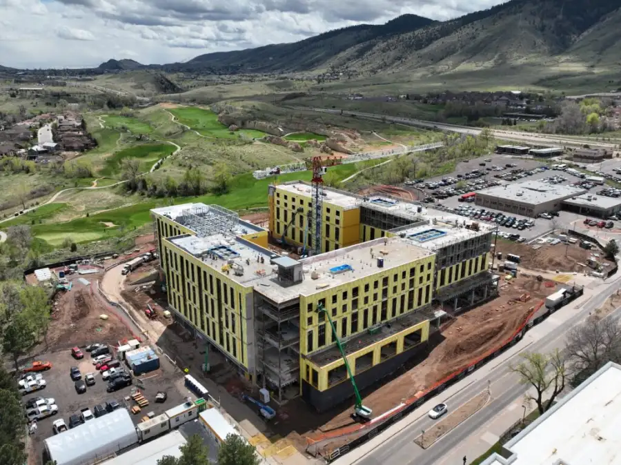
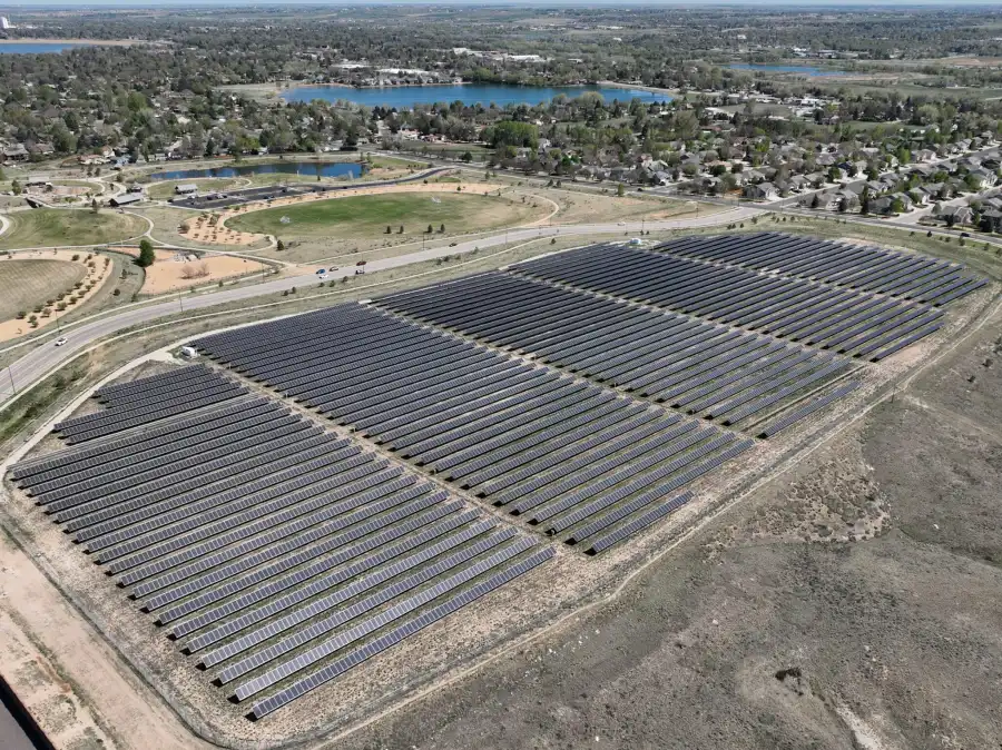
Skyline Drone Mapping (SDM) delivers survey-grade drone data designed to integrate seamlessly into professional surveying and engineering workflows. By combining drone-based photogrammetry, RTK/PPK positioning, and strict quality control, drone surveying provides fast, consistent, and cost-effective data for existing conditions, planning, and analysis.
Through strategic partnerships with licensed surveying firms, SDM’s drone surveying services can support stamped survey deliverables when required, while maintaining clear role separation and regulatory compliance. Contact us today to learn more.

| Deliverable | Output Formats | Common Uses |
|---|---|---|
| Survey-Grade Orthomosaics | GeoTIFF | Existing conditions mapping |
| Digital Surface Models (DSM) | GeoTIFF, LAS/LAZ | Site analysis |
| Digital Terrain Models (DTM) | GeoTIFF, LAS/LAZ | Bare-earth modeling |
| Contour Lines | DXF, SHP | Engineering and design |
| Point Clouds | LAS/LAZ | Survey and CAD integration |
| Web-Based Viewer | Secure cloud link | Review & collaboration |


Drone surveying is trusted by decision-makers and technical teams who need reliable site data:
