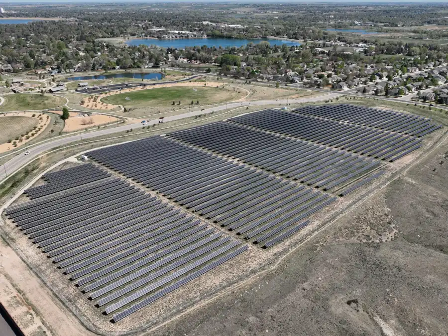
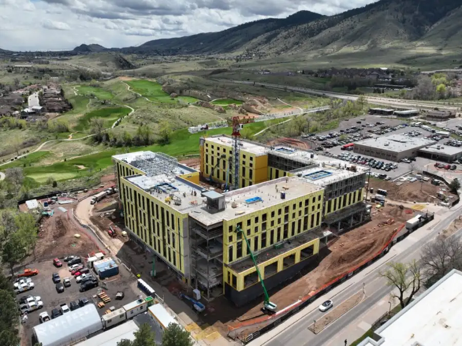
Skyline Drone Mapping (SDM) delivers survey-grade topographic mapping using RTK/PPK positioning, repeatable flight parameters, and rigorous quality control. Using aerial photogrammetry, topographic maps translate real-world terrain into measurable DSM and DTM surfaces, contour lines, and elevation datasets that support engineering, planning, and decision-making.
Our deliverables integrate directly into CAD and GIS workflows, providing clear terrain intelligence that reduces uncertainty and improves project outcomes. Contact us today to learn more.

Common challenges addressed:
| Deliverable | Output Formats | Common Uses |
|---|---|---|
| Digital Surface Model (DSM) | GeoTIFF, LAS/LAZ | Existing conditions, surface analysis |
| Digital Terrain Model (DTM) | GeoTIFF, LAS/LAZ | Bare-earth modeling, drainage analysis |
| Contour Lines | DXF, SHP, DWG | Design, grading, and planning |
| Elevation & Slope Maps | GIS-ready layers | Site analysis and visualization |
| Web-Based Viewer | Secure cloud link | Stakeholder review & collaboration |