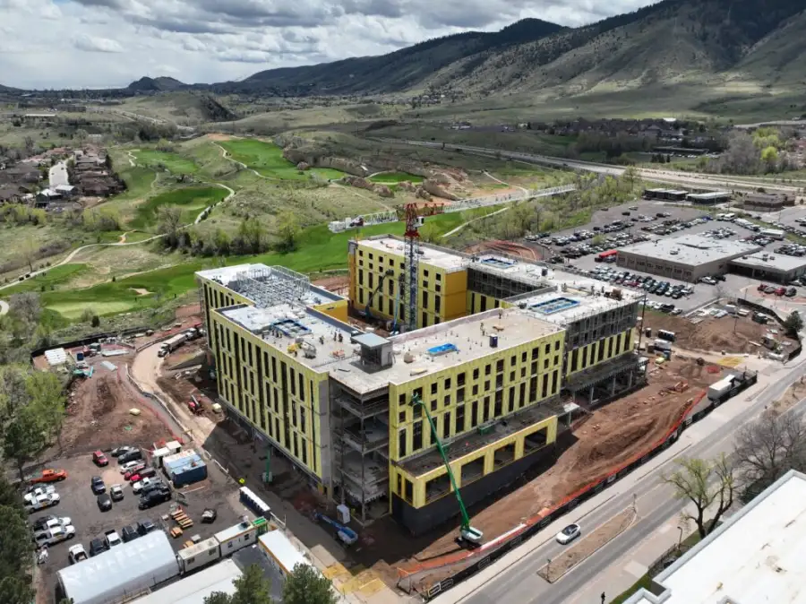
Our mapping and surveying services collect high-resolution aerial data across your entire site in a fraction of the time a ground survey takes. You get orthorectified maps, topographic data, and boundary records that developers, engineers, and city offices in Portland can act on the same week.
Our measurements and analytics services turn aerial imagery into precise numbers. We measure stockpile volumes, run cut-and-fill for grading, and calculate acreage for tracts and lots. We pull the figures that matter and deliver them in the file types your team already uses. Developers and contractors around Portland rely on accurate data, and that is what we provide.
Our inspection and monitoring services put a camera where climbing is slow or unsafe. We inspect rooftops, water towers, storage structures, and equipment across the Portland area. The visual reports we deliver help you catch problems early, before they turn into delays.
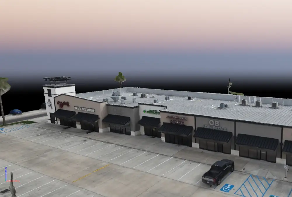
Our 3D and digital modeling services turn aerial imagery into point clouds, mesh models, and digital twins of your site or structure. Engineers, architects, and project managers in Portland use these models to plan, review, and report on progress without driving out to the site.
Our creative and marketing services produce aerial video and photography that show your property, project, or business from above. New home listings, development announcements, and commercial content all gain from a view from the air. Portland businesses and builders use our footage to draw buyers and show the scope of a project.
Reach out by phone or through our website. We ask a few questions about your site, timeline, and deliverable needs to scope the job correctly.
Our team checks airspace authorizations, site access, and any local restrictions around your Portland location. We handle the FAA coordination so you do not have to.
On flight day, our certified pilots collect data with precision. We follow a structured flight plan built around your project goals - coverage area, resolution, and capture angle are all set before we leave the ground.
Raw imagery goes through our processing pipeline to produce maps, models, measurements, or inspection reports depending on your order. We check every deliverable for accuracy before it leaves our hands.
You receive your data through a secure link. For complex deliverables like 3D models or full inspection reports, we schedule a brief review call so you can ask questions and put the data to work right away.