
Most sites keep their records in a dozen places. Inspection photos sit in one folder. Thermal reports sit in another. Drawings are out of date. When something goes wrong, your team spends hours piecing it all together.
A digital twin puts it in one place. Skyline Drone Mapping builds measurable 3D models of oil and gas sites from drone data. Then we tie your inspections, thermal findings, gas data, and records to the model. Your team can open the site from a desk, measure it, and see how it has changed over time.
We are based in Corpus Christi and build digital twins for refineries, plants, tank farms, terminals, compressor stations, and well pads across the Coastal Bend and South Texas. Every flight is run by an FAA Part 107 pilot.
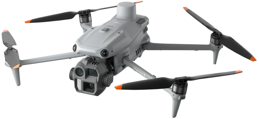

A digital twin is a true-to-scale 3D copy of your site. It is built from thousands of drone images and, when needed, LiDAR. You can walk around it on screen, zoom in on a valve, or measure the gap between two pipes.
Time is what turns a model into a twin. We update it on a schedule. Each update is saved as a new version, so you can compare the site today to the site last quarter.

See the whole site without a site visit. Plan work, check access, and brief crews with a model everyone can open.
Pull up an asset and see its inspection history, thermal readings, and notes in one view. Spot change between flights and plan repairs sooner.
Keep gas detection data, OGI clips, and spill records tied to the place they happened. Build dated records for audits and your emissions program.
Give response teams a current model of the site before they arrive. Add new flight data during the event to see what changed.
Measure the site for tie-ins, expansions, and new equipment. Share the model with contractors instead of sending them out to look.
Record the site before closure. Compare it to the model after reclamation.
Most clients run their twin as an ongoing program. If a one-time baseline fits your needs better, we will tell you.

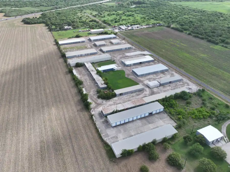
We are a small team based in Corpus Christi. You talk to the people who fly your site and build your twin. Both founders hold FAA Part 107 and Pix4D credentials. We carry Pix4D certifications across eight of its products.
We also run the inspections that feed the twin. Visual, thermal, and gas data come from the same team, so every layer lines up.
It is a measurable 3D copy of a facility or site. It links the model to inspection data, thermal findings, gas data, and records, and it is updated over time.
A 3D model shows the site on one day. A digital twin is updated on a schedule and holds your inspection data and records. You can compare versions and track change.
On a schedule you set. Most teams update quarterly, at project milestones, or once a year, based on how fast the site changes.
Yes. Visual, thermal, and inspection data can be layered or linked in the twin. Documents and maintenance records can be tied to each asset.
You do. We deliver georeferenced files in standard formats that work with your GIS and CAD tools.
It depends on the size of the site, how often you update it, how much detail you need, and what systems it links to. We give you a quote after we scope the job.
Yes. We are based in Corpus Christi and work across South Texas. Tell us where your site is and we will scope it.
Tell us about your site and what you want to track. We will scope the twin and show you what it looks like. Contact us now to learn more.