
Digital Twin Consulting & 3D Modeling in Corpus Christi, TX

Accurate digital representations for visualization, analysis, and decision-making anywhere in Texas
DJI Matrice 4 drone render
Drone inspecting commercial construction site

Bring Your Assets Into the Digital World

Skyline Drone Mapping (SDM) turns real sites and facilities into accurate, interactive 3D assets your whole team can use. These models give everyone one clear spatial picture for planning, analysis, communication, and long-term asset management.
From photogrammetric 3D models to updateable digital twins and virtual tours, SDM builds 3D that works for technical teams and stakeholder presentations alike. You get data you can measure and visuals people understand. Contact us to get started.

3D & Digital Models Service Categories

The services below make up SDM’s full 3D and digital modeling capability. Each one works on its own or combines into a single layered digital environment.

3D Drone Mapping & Modeling

SDM builds textured, measurable 3D environments from aerial imagery. Your project teams can explore a site from any angle, pull dimensions, and check spatial relationships without setting foot on-site. These models give design coordination, stakeholder presentations, and technical analysis the visual context that 2D maps and photos can’t.
Common uses: Site context and visualization | Design coordination and planning | Stakeholder communication

Digital Twins

Living, updateable digital versions of real assets and environments. A twin centralizes your visual data and keeps it current to support long-term operations. 

Common uses: Asset documentation and lifecycle management | Change detection and historical comparison | Cross-team collaboration

Drone inspecting commercial solar rooftop

How These Services Work Together

3D drone mapping and digital twins are two stages of the same system:

Together they give you an accurate starting point and a living record your team can plan, operate, and communicate from.
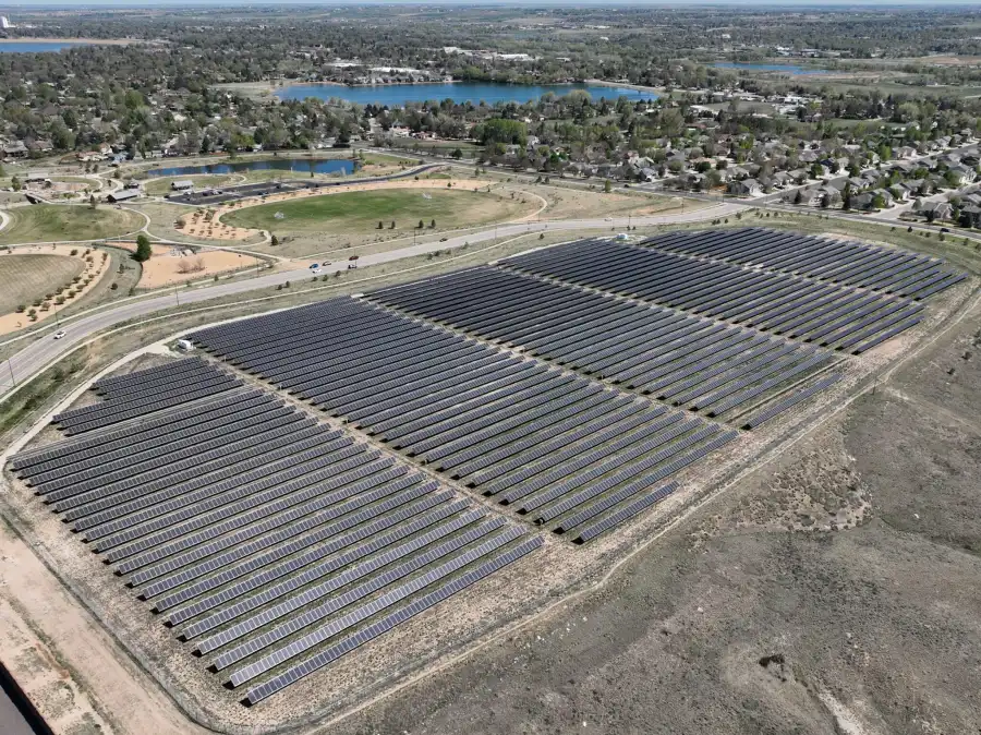
Drone aerial view of solar farm

Accuracy, Standards & Deliverables

Every SDM 3D mapping and digital twin project is delivered using:

Deliverables integrate with CAD, GIS, BIM, and visualization platforms based on your project scope.

Drone inspecting commercial solar rooftop

Who Uses Digital Twin Consulting

Our clients need to see complex sites clearly, explain them to others, and manage them over time. Architects use these models to coordinate design intent. Facilities teams use them to track changes across a campus. In every case, the model turns technical data into shared understanding, so teams collaborate faster and decide with more confidence. Our Digital Twin Consulting services are a good fit for:

Let's Build Your Digital Model

Need a clear, interactive digital version of your site or facility? Explore SDM’s 3D and digital modeling services, or contact us to find the right fit for your goals. Request a consultation now.

Frequently Asked Questions

3D drone mapping is the capture step. It produces an accurate, measurable 3D model of your site at one point in time. A digital twin takes that model and keeps it current, updated on a schedule so it reflects your asset as it changes. Mapping is the foundation. The twin is the ongoing program built on it.
If you need a clear, measurable snapshot for a single project, a one-time 3D model is enough. If you manage a high-value asset that changes over time and several teams need the same current picture, a digital twin program is the better fit. We help you decide during scoping.
Yes. You can pull distance, area, and volume measurements from the model. Accuracy depends on capture conditions and ground control.
None. We deliver through a secure web-based viewer, so anyone with the link can explore the model in a browser. We also provide file exports for teams working in CAD, GIS, or BIM.
It depends on site size and level of detail. A standalone 3D model usually takes a few days from flight to delivery. A digital twin program starts with a baseline capture, then runs on the update schedule you set. We give you a timeline when we scope the project.
On a cadence you choose, often quarterly, at project milestones, or annually, based on how fast your site changes. Each update is compared to the baseline so you see exactly what moved.

We deliver in industry-standard formats such as glTF, OBJ, and LAS/LAZ, built to integrate with CAD, GIS, BIM, and visualization platforms. We confirm your format and integration needs before we start. 

No. SDM models are non-boundary and are not legal surveys. They are built for visualization, planning, measurement, and asset management. For boundary determinations, consult a licensed surveyor.