
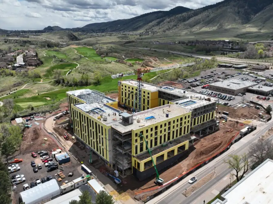
Living, updateable digital versions of real assets and environments. A twin centralizes your visual data and keeps it current to support long-term operations.
Common uses: Asset documentation and lifecycle management | Change detection and historical comparison | Cross-team collaboration

3D drone mapping and digital twins are two stages of the same system:
Together they give you an accurate starting point and a living record your team can plan, operate, and communicate from.
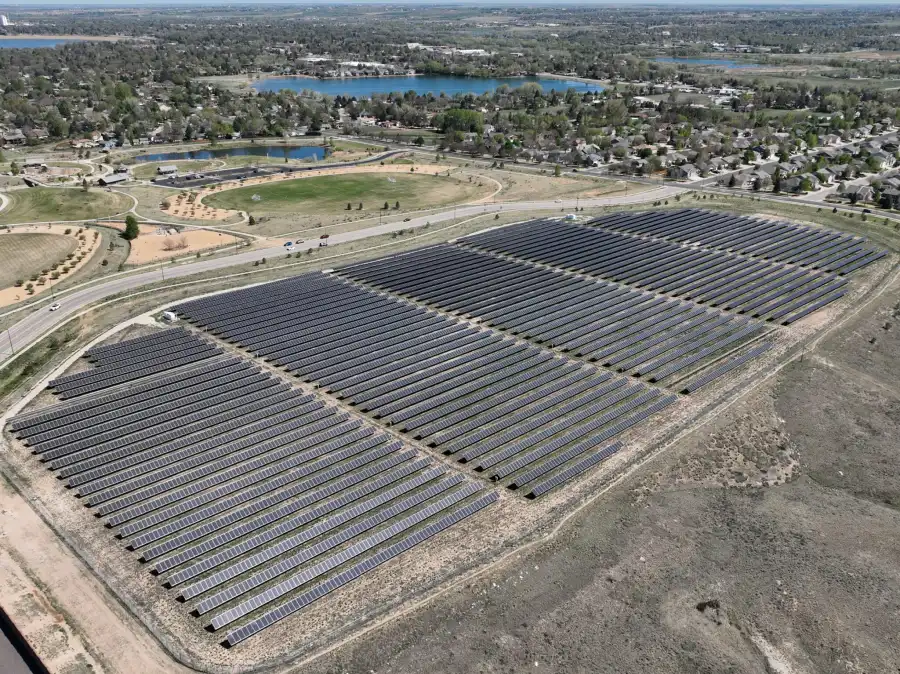
Every SDM 3D mapping and digital twin project is delivered using:
Deliverables integrate with CAD, GIS, BIM, and visualization platforms based on your project scope.
Our clients need to see complex sites clearly, explain them to others, and manage them over time. Architects use these models to coordinate design intent. Facilities teams use them to track changes across a campus. In every case, the model turns technical data into shared understanding, so teams collaborate faster and decide with more confidence. Our Digital Twin Consulting services are a good fit for:
We deliver in industry-standard formats such as glTF, OBJ, and LAS/LAZ, built to integrate with CAD, GIS, BIM, and visualization platforms. We confirm your format and integration needs before we start.