Digital Twin Programs in Corpus Christi, TX

An advisory and managed service that keeps your highest-value assets documented, current, and ready for every decision.
DJI Matrice 4 drone render
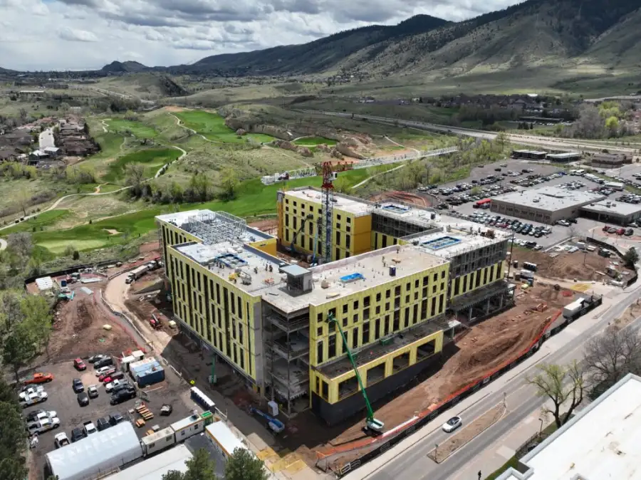
Drone inspecting commercial construction site

A managed model, not a one-time file

A digital twin is only useful while it stays current. That is why Skyline Drone Mapping (SDM) runs digital twins as a managed program, not a file we hand over once and walk away from.
We advise on what your twin needs to track, capture it to spatial accuracy from drone mapping, photogrammetry, and inspection data, then keep it updated as your asset changes. Your teams get one current model to plan, operate, and communicate from, and a partner who owns keeping it reliable.
Drone surveying accuracy and ground control

Who this program is for

Digital twin programs pay off for organizations that manage complex, high-value assets and need one consistent way to see and share how those assets change over time.
Best fit for:
Drone inspecting commercial solar rooftop

What a digital twin program solves

A managed twin replaces all of that with one model that stays current and everyone works from.
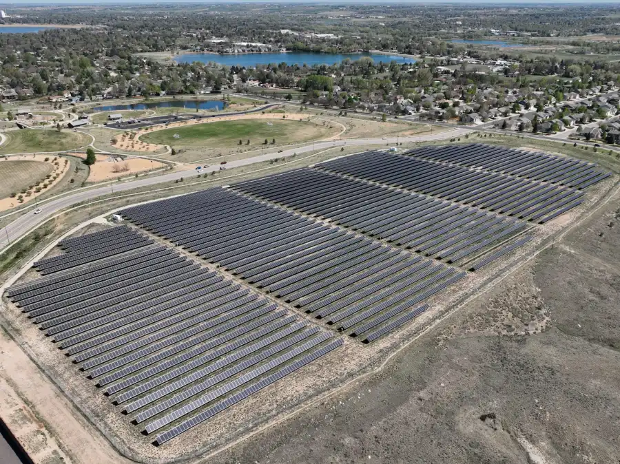
Drone aerial view of solar farm

What the program includes

This is an ongoing engagement, not a deliverable. A typical program covers:
Construction site 3D drone mapping model

How programs are used across industries

Power plant station aerial view

Accuracy, workflow & standards

SDM twin programs are built for accuracy, usability, and long-term reliability:
Consistent standards are what keep a twin trustworthy from one update to the next.
Aerial photo of industrial site

Who we work with on the buying side

Aerial drone view of property

How a program is structured

We scope each engagement around:
Most clients run their twin as an ongoing program that evolves with the asset. When a one-time baseline is the better fit, we will tell you.
3D terrain model survey view

Accuracy & intended use

Digital twins provide visual and spatial representations of assets and environments. Accuracy depends on capture methods, control, and update frequency. Twins are built for visualization, planning, communication, and asset intelligence. They do not replace stamped surveys, engineering designs, or as-built certifications unless we coordinate that explicitly.

Turn your asset into a managed model

Your assets change, and your documentation should keep up on its own. A digital twin program gives your team a current model they explore, update, and share, with SDM managing the work behind it.

Frequently Asked Questions

With SDM it is an ongoing program. We build the baseline, then manage scheduled updates so the model stays current.
On a cadence you set, usually quarterly, at project milestones, or annually, based on how fast your asset changes.
Yes. Visual, thermal, and inspection datasets can be layered or linked within the twin.
Yes. Outputs export to GIS and CAD, and we scope those integrations during setup.
Owners, operators, and planners who need one shared visual reference. We handle the capture and upkeep so your team does not have to.