3D Drone Mapping & Modeling in Corpus Christi, TX

The reality-capture foundation behind every enterprise digital twin program.
DJI Matrice 4 drone render
Drone inspecting commercial construction site

Where a digital twin program starts

Every reliable digital twin begins with accurate capture. 3D drone mapping is that foundation. SDM turns aerial imagery into accurate, measurable 3D models of your sites, structures, and assets, using photogrammetry workflows that record geometry, texture, and spatial relationships 2D maps can’t show.
On its own, a 3D model gives your team a clear, measurable view of a site. As the first capture in a digital twin program, it becomes the baseline every future update is measured against. Either way, accuracy at capture is what makes everything after it trustworthy.
Drone surveying accuracy and ground control

Who this service is for

Best fit for teams that need a clear spatial picture of a complex site or structure, and for enterprises building toward a managed digital twin:
Drone inspecting commercial solar rooftop

What 3D mapping solves

A single accurate 3D model gives everyone the same reference, and gives a future twin program a clean starting point.

What we deliver

← Scroll horizontally →
Deliverable Output Format Common Use Cases
STextured 3D Mesh Models OBJ, glTF Visualization & presentations
Georeferenced 3D Models LAS/LAZ Analysis & twin baselines
Orthographic Views Images Documentation
Measurement Tools Embedded tools Distance, area, volume
Web-Based 3D Viewer Secure cloud link Collaboration & sharing
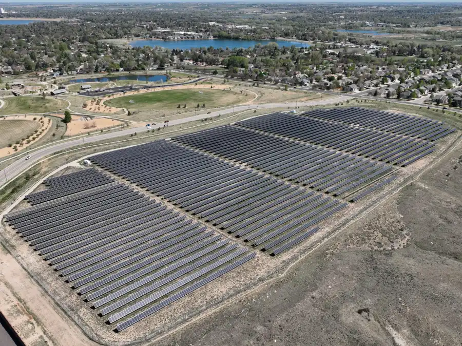
Drone aerial view of solar farm

How 3D models are used across industries

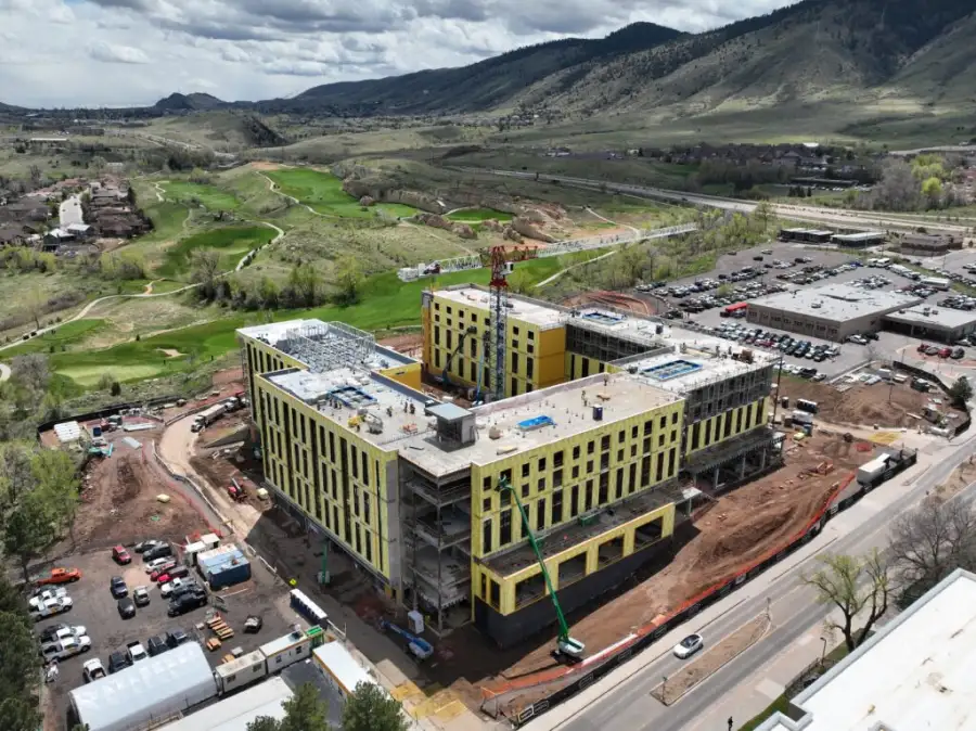
Construction site 3D drone mapping model

Accuracy, workflow & standards

SDM 3D mapping is built for consistency and accuracy, so the data holds up whether it stands alone or feeds a twin:
Power plant station aerial view

Who we work with on the buying side

Aerial photo of industrial site

How projects are scoped

We deliver 3D mapping as a standalone project or as the first capture in an ongoing twin program.
Aerial drone view of property

Accuracy & intended use

3D models provide visual and spatial representations derived from photogrammetry. Accuracy depends on capture conditions, control, and model complexity. Models are built for visualization, planning, measurement, and communication. They do not replace stamped surveys or engineering designs unless we coordinate that explicitly.

Your site, captured in full

Need a clearer, measurable picture of your site, or the foundation for a digital twin? 3D drone mapping gives your team a shared model they can explore, measure, and share without special software.

Frequently Asked Questions

A 3D model is a snapshot of a site at one point in time. A digital twin program keeps that model updated over time as a managed service. 3D mapping is the capture foundation a twin is built on.
Yes. Distance, area, and volume measurements can be extracted depending on model accuracy.
Yes. Models can be delivered with spatial reference for GIS and CAD, which also makes them ready to serve as a twin baseline.
Yes. Web-based viewers open the model in a browser, no special software needed.