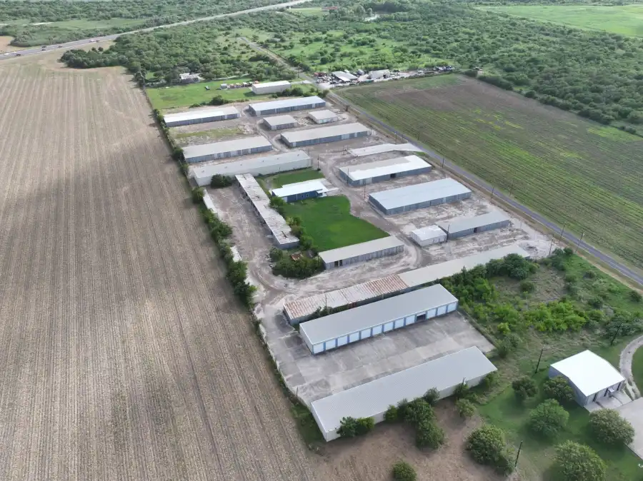
A small leak is hard to find on a big site. Crews walk units with handheld gear. It takes time, and it puts people near the gas. A drone can screen the whole site from the air and show your team where to look.
Skyline Drone Mapping finds, maps, and documents methane and other gases at oil and gas sites. We are based in Corpus Christi and fly for facilities, pipelines, well pads, and terminals across the Coastal Bend and South Texas. Every flight is run by an FAA Part 107 pilot.
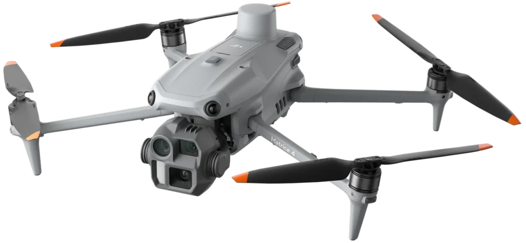

Drone-mounted methane sensors screen large sites from above. We turn the readings into 2D and 3D plume maps. You can see where methane is high across a facility, a pipeline, or a suspected leak area. The maps help your team decide where to send a crew first. This data can also support emission rate estimates for your program.
OGI cameras make methane and VOC leaks visible on video. Gas you can't see with your eyes shows up as a moving plume. Your LDAR team gets footage of the exact leak point. That helps them rank repairs and keep proof on file.
Some jobs need more than methane. Our sensors fly through the air around a site and measure the gases set for the job. We map those readings in 2D and 3D. This adds gas-by-gas data for checks, environmental monitoring, and incident response.
Fly the same site on a set schedule and compare each flight to the last one. You can confirm a repair held and catch new leaks early. Over time you build an emissions history for the site.

| Situation | How we help |
|---|---|
| Routine screening | Scan the site on a schedule and find leaks before they grow |
| Leak follow-up | A sensor, a neighbor, or a crew reports a smell, and we help you find the source |
| Repair checks | Fly after a fix to confirm the leak is gone |
| Incident response | Map gas levels after a release without sending people in close |
| Records and reporting | Build dated, location-tagged records for your emissions program |

Our gas detection and emissions data is for screening, finding leaks, measuring, and keeping records. It supports decisions your team makes. Whether a flight counts toward a specific TCEQ, EPA, or company rule depends on the sensor, the method, the site conditions, and your program. We are happy to talk through what your program needs before we fly.
We are a small team based in Corpus Christi. You talk to the people who fly your site. Both founders hold FAA Part 107 and Pix4D credentials. We carry Pix4D certifications across eight of its products.
Yes. Drone methane sensors screen large areas and show where methane levels are high. OGI then shows the leak itself on video.
Methane mapping screens a wide area and shows where gas levels are high. OGI zooms in and shows the leak point on video. Many jobs use both. Mapping finds the area and OGI finds the spot.
Methane plume mapping and OGI focus on methane and VOCs. Multi-gas mapping measures the gases we set up for your job. Tell us what you need to track and we will confirm it before the flight.
It depends on your program and the rule you report to. Drone data supports leak finding, repair ranking, and records. We can talk through your program before we scope the job.
In many cases, yes. We plan each flight with your safety team and follow your site rules.
Some findings, like OGI video, are clear right away. Full maps take processing time. We give you a timeline when we scope the job.
Yes. We are based in Corpus Christi and fly across South Texas. Tell us where your site is and we will scope it.
Tell us about your site and what you need to find. We will scope the flight and show you what the data looks like. Contact us now to learn more.