
A training simulator works best when it shows the real site. Skyline Drone Mapping turns drone data into 3D environments that simulation tools can load and run. You get true-to-scale terrain and assets that are light enough to run smoothly and are set up for the scenarios you need to test.

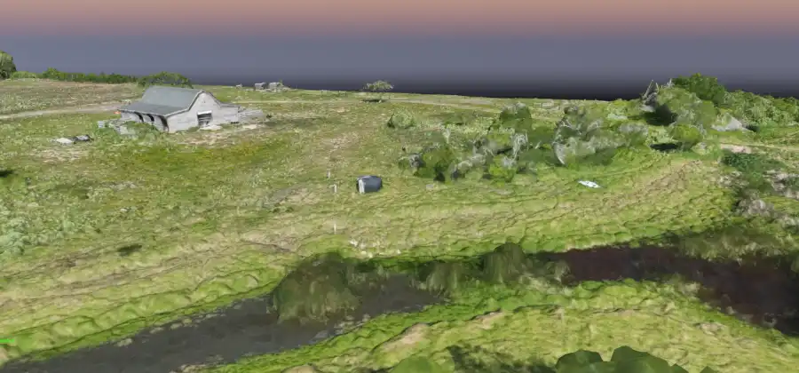
A 3D drone model is built for viewing and measuring. A simulation environment has more jobs. It has to load fast, respond to movement, and hold up while people or machines interact with it. We start with the same capture and then rebuild the model for simulation.
Every surface and structure sits at its real-world position. We capture the site with drone mapping and use RTK/PPK positioning when the project calls for it.
Raw photogrammetry files are too heavy for most simulators. We cut the polygon count and clean up textures so the environment runs well without losing the details that matter.
We add simple collision shapes to buildings, equipment, and terrain. That way, vehicles, avatars, and drones in the simulation stop where they should.
We mark the areas your training needs, such as staging points, hazard zones, access routes, and restricted spaces. Your team can build drills around real places on the real site.

Sites change, and old terrain makes for bad training. We can rebuild the environment from new flights on a schedule, using the same baseline we use for digital twin programs.
We confirm formats before any work starts. Common options include glTF, OBJ, and LAS/LAZ point clouds. Tell us which simulator or engine you use, and we’ll build to fit it.
A digital twin is a managed record of your asset that we update over time. A simulation environment is a version of that data rebuilt so software can run scenarios on it. Many projects use both.
Our capture is aerial. Tell us what interior detail you need during scoping, and we’ll tell you what’s possible.
Some training and public safety grants may include this kind of work. Our grant support team can help you find out.
No. Our data is non-boundary and doesn’t replace a licensed land survey.