A pipeline right-of-way can run for miles through brush, ranch land, and wet ground. Walking it takes days. Flying it takes far less. Skyline Drone Mapping maps and inspects pipeline corridors from the air, so your team gets a clear, measured record of the line without sending a crew down every mile.
We are based in Corpus Christi and fly pipeline work across the Coastal Bend, the Eagle Ford, and the rest of South Texas. Every flight is run by an FAA Part 107 pilot.
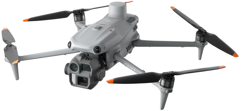

Pipelines are long, thin, and often hard to reach. That makes them tough to inspect on foot and costly to cover by helicopter. A drone closes that gap.
We build high-resolution orthomosaic maps of the full corridor. RTK and PPK positioning tie each image to real-world coordinates. With ground control points, horizontal accuracy lands within 1 to 3 centimeters. You get a current, true-scale view of the line, the access roads, and everything around them.
Brush and trees hide the ground from a camera. LiDAR sees through gaps in the canopy and maps the terrain below. We deliver dense point clouds and bare-earth surfaces for rights-of-way, drainage crossings, and wooded stretches where photos alone fall short.
We measure distance, clearance, and encroachment along the route. That covers new structures, fences, dirt work, and brush growing into the corridor. Your vegetation and land teams get numbers they can act on.
We capture high-resolution photo and video of aboveground pipe, valve sites, pig launchers and receivers, crossings, and supports. Your engineers can zoom in on coatings, supports, and signs of wear from a desk.
Radiometric thermal cameras record heat patterns along the line and at aboveground equipment. Odd heat readings can point your team to a spot worth a closer look.
Drone-mounted methane sensors screen long stretches of pipe fast and map suspected plumes in 2D and 3D. Optical gas imaging (OGI) gives your team video of methane and VOC leaks. Together, they help you find a leak, rank repairs, and document the work for your LDAR program.
Fly the same corridor on a set schedule and we compare each flight to the last one. Erosion, washouts, ground movement, and new encroachments stand out. Over time you build a condition history for the whole line.

Every project ends with files your team can use right away.
| Stage | How we help |
|---|---|
| Route planning and pre-construction | Base maps, terrain models, and drainage data before the first stake goes in |
| Construction | Progress maps for trenching, pipe laying, and backfill, plus cut and fill numbers for pay apps |
| As-built records | A capture of the finished corridor before the ground grows over it |
| Operations and integrity | Repeat flights for visual, thermal, and methane checks your integrity team can pull up any time |
| Incident response | Fast eyes on a washout, strike, or reported leak without putting a crew at risk |
| Reclamation | Before and after records of corridor restoration |

We are a small, local team. You talk to the people who fly your line. Both founders hold FAA Part 107 and Pix4D credentials. We carry Pix4D certifications across eight of its products. Simple jobs are often done in one to two days of work.
A drone can cover a lot of what a ground patrol or flyover checks, and it leaves a measured record behind. Whether it meets a specific patrol rule depends on your program and your regulator. We can talk through what your program requires.
With RTK or PPK and ground control points, horizontal accuracy is typically within 1 to 3 centimeters. The right setup depends on how you plan to use the data.
Yes. LiDAR maps the ground through gaps in the canopy. Photos alone struggle in heavy cover, so we use LiDAR for wooded stretches.
Drone methane sensors screen large areas fast and show where gas levels are high. OGI then shows the leak on video. These tools support leak finding and documentation. Whether the data counts toward a specific rule depends on the sensor, the method, and your program.
GeoTIFF, KML/KMZ, DSM/DTM, DXF, SHP, LAS, JPEG, and MP4. We can match the formats your GIS or CAD team asks for.
It depends on the risk along the route. Some teams fly once a year. Others fly monthly near creeks, roads, or new building. We can help you set a schedule.
No. Our maps and models are non-boundary and are not legal surveys. They are for planning, inspection, and records. They should not be used to set property lines.