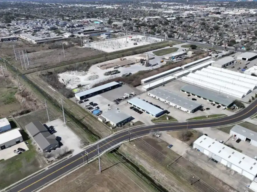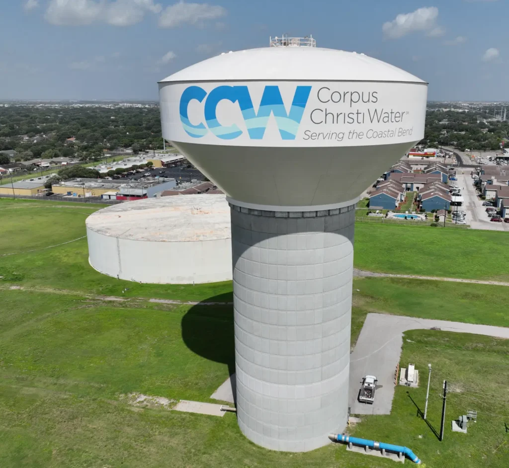

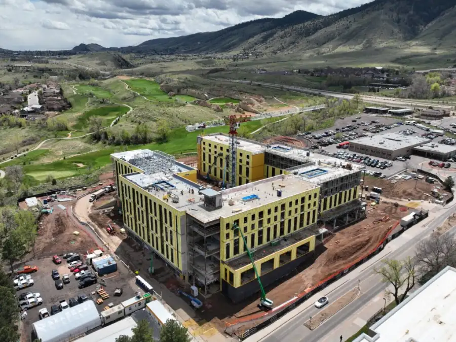
Skyline Drone Mapping (SDM) delivers a full suite of drone-based services for industries that demand accuracy, reliability, and repeatable results. Our services are organized into five core pillars,making it easy to find the right solution whether you need mapping, inspection, digital models, or visual media.
SDM supports surveying and engineering workflows, facilities and operations teams, public agencies, and commercial stakeholders with GIS and CAD-ready deliverables, clear reporting, and professional communication assets. Contact us today to learn more.
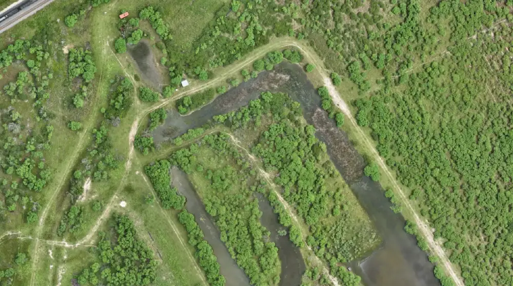
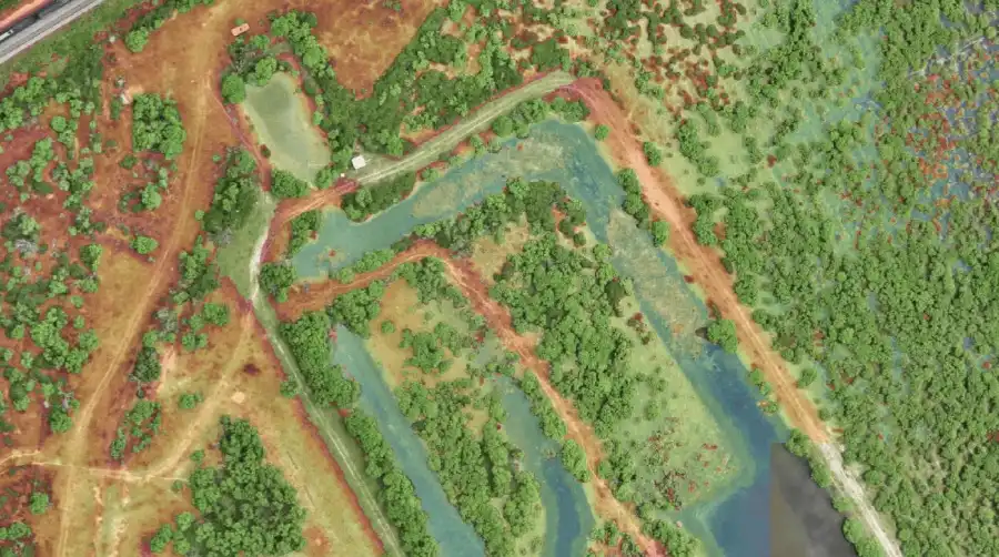
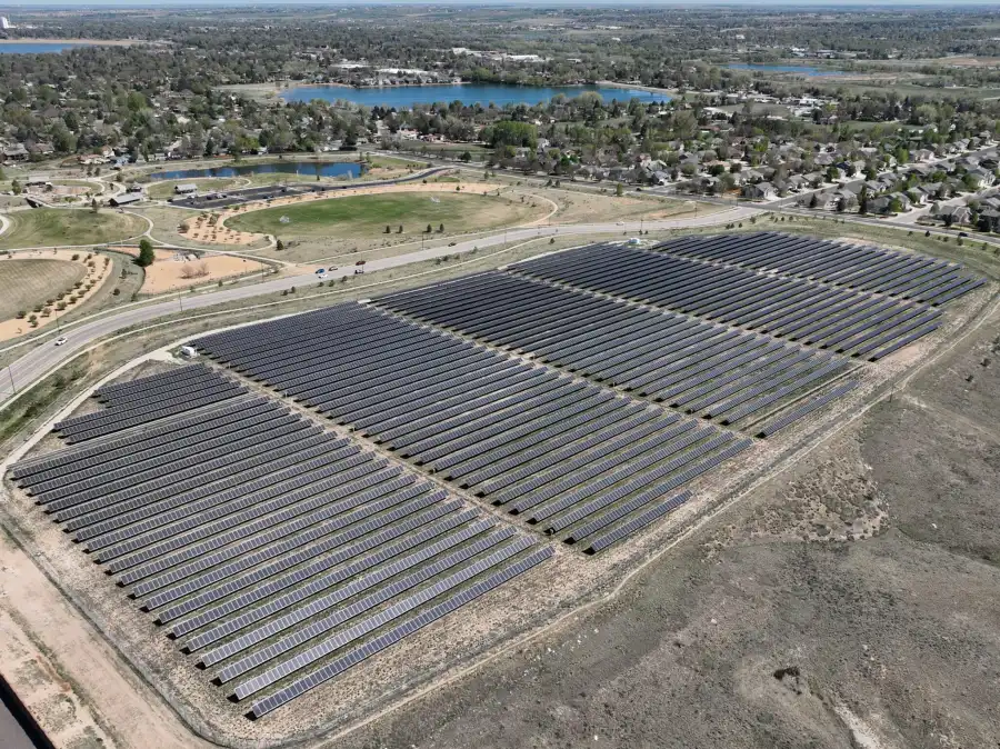

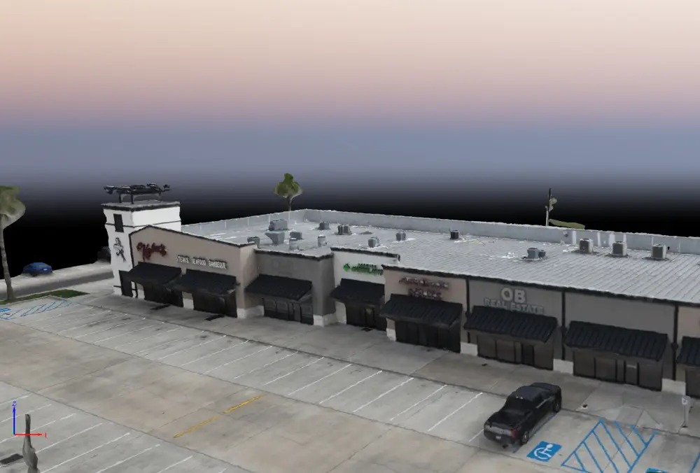
SDM creates photorealistic 3D models that preserve spatial context, support remote collaboration, and serve as living records of your assets over time. Whether you’re conducting pre-construction planning, managing facility renovations, or tracking changes across large sites, our digital models give stakeholders a shared source of truth they can measure, markup, and revisit from anywhere.